After leaving Glade Creek below Packer Meadows, the expedition climbs and descends high ridges. They leave the Northern Nez Perce Trail and cross Brushy Fork and Crooked Fork rivers. Lewis issues portable soup, but they end up killing a colt to satisfy the enlisted men‘s hunger. They continue to a small island in the Lochsa River opposite present Powell, Idaho.
Killing a Colt
by Yellowstone Public Radio[1]Originally aired weekdays by Yellowstone Public Radio during the Bicentennial observance of 2003-2006. Narrated by Hal Hansen. Scripts by Whit Hansen and Ed Jacobson. Produced by Leni Holliman. © … Continue reading
Crossing Brushy Fork
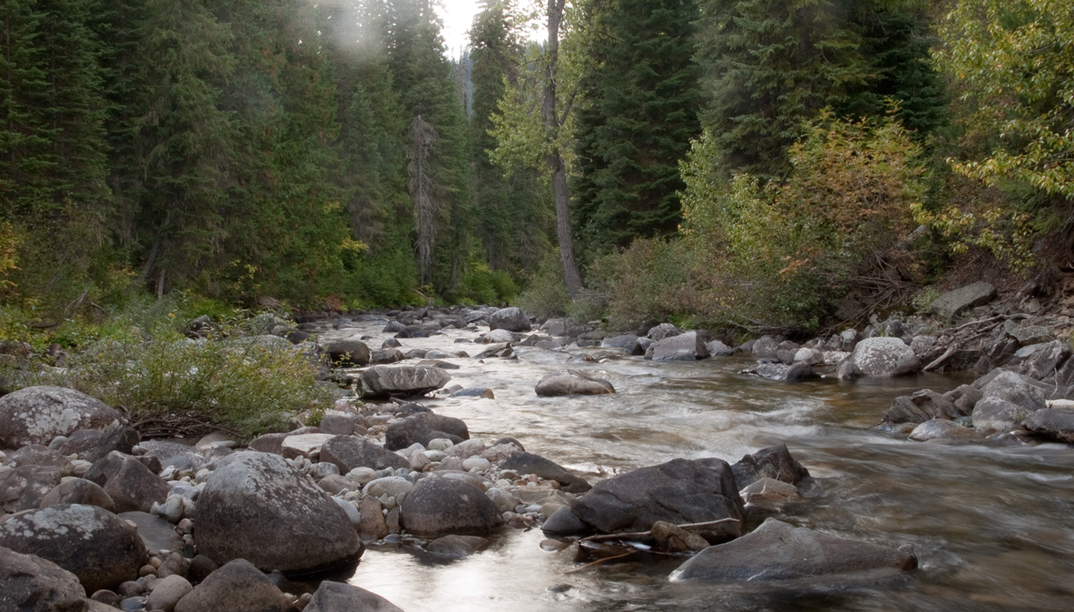
© 13 September 2010 by Kristopher K. Townsend. Permission to use granted under the Creative Commons Attribution-Share Alike 4.0 International license.
Above: the expedition crossed Brushy Fork near this spot.
ascended a mountain about 4 miles, then descended it down to on the forks of the creek where it ran verry rapid and is full of rocks.
—John Ordway
Over Beaver Ridge
we Crossed to the left Side at the foks, and Crossd a verry high Steep mountain for 9 miles to a large fork from the left which appears to head in the Snow toped mountains Southerley and S. E.
—William Clark
Crossing the Crooked Fork
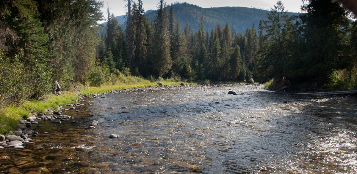
© 13 September 2010 by Kristopher K. Townsend. Permission to use granted under the Creative Commons Attribution-Share Alike 4.0 International license.
Above: The photographer is standing on a fish weir maintained by today’s Nez Perce Tribe. In the distance is Beaver Ridge that they climbed over after the Brushy Fork.
we Crossd. Glade Creek [Crooked Fork] above its mouth, at a place the Tushepaws or Flat head Indians [Salish] have made 2 wears across to Catch Sammon and have but latterly left the place I could see no fish, and the grass entirely eaten out by the horses
—William Clark
Portable Soup
Capt. Lewis gave out some portable soup, which he had along, to be used in cases of necessity. Some of the men did not relish this soup, and agreed to kill a colt; which they immediately did, and set about roasting it; and which appeared to me to be good eating.
—Patrick Gass
Colt Killed Camp
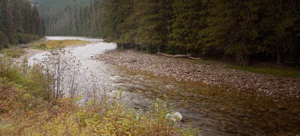
© 14 September 2010 by Kristopher K. Townsend. Permission to use granted under the Creative Commons Attribution-Share Alike 4.0 International license.
Above: The expedition camped across from the island in the upper right quadrant of this photo. The left shore has been built up and now houses a large U.S. Forest Service complex. This camp is now known as Colt Killed Camp, but it is located about two miles from Colt Killed Creek.
Encamped opposit a Small Island at the mouth of a branch on the right side of the river which is at this place 80 yads wide, Swift and Stoney . . . . our men and horses much fatigued
—William Clark
Weather Diary
Weather at rise
Wind at Weather at 4 P.M. Wind at 4 P.M. cloudy after rain S W cloudy after rain & snow S W killed and eat a colt [Clark:] Snowed rained & hailed to day.
—Meriwether Lewis and William Clark[2]To assist the reader, the editor of this web page has omitted the date column and spelled out some abbreviations.
Experience the Lewis and Clark Trail
The Lewis and Clark Trail Experience—our sister site at lewisandclark.travel—connects the world to people and places on the Lewis and Clark Trail.
Plan a trip related to September 14, 1805:


Colt Killed Creek Campsite is a High Potential Historic Site along the Lewis and Clark National Historic Trail managed by the U.S. National Park Service. This site is at the Powell Ranger Station in the Clearwater National Forest.
Notes
| ↑1 | Originally aired weekdays by Yellowstone Public Radio during the Bicentennial observance of 2003-2006. Narrated by Hal Hansen. Scripts by Whit Hansen and Ed Jacobson. Produced by Leni Holliman. © 2003 by Yellowstone Public Radio. |
|---|---|
| ↑2 | To assist the reader, the editor of this web page has omitted the date column and spelled out some abbreviations. |